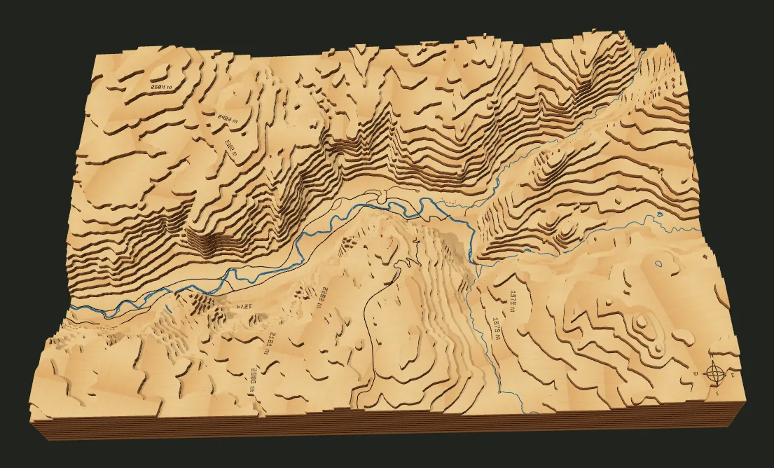
The project
| Cut size | 406.4 × 270.933 mm (16 × 10.7 in) |
|---|---|
| Material | 3.175 mm (1/8 in) sheets |
| Vertical exaggeration | 1.25× |
| Elevation range in the frame | 1,714 m |
| Layers | 18, 57.15 mm (2.25 in) tall |
Why these settings
- Granite walls rise steeply from a flat valley, so the relief needs little exaggeration.
- The frame runs along the valley from El Capitan to Half Dome so both landmarks fit on one board.
Make it yourself
- Download the project file. It holds the map area and every setting above.
- Open the studio and choose Import project JSON next to the project name.
- Select Generate terrain. Fresh data can change the layer count slightly from the one listed here.
- Check the cut layers and 3D preview, then open Export for the SVG cut panels and assembly guide.
To change it, set your own sheet thickness in Terrain layers or a new size in Cut size; the studio recalculates the layers. The layered map guide covers kerf, nesting and assembly, and the engraving guide shows how to make the same place as a flat engraving.